
Click HERE for BBC appraisal of week to come.
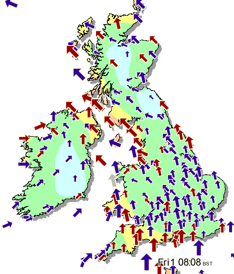
Summary
The ups and downs of autumn
It seemed last week as if the weather couldn't make up its mind. The temperature hit 25C in southeast England midweek, before northerly winds swept the warmth away. The overnight low of -4C at Tulloch Bridge in the Scottish Highlands on Saturday then made it the coldest September night in Scotland since 1993.Cold weather seems less likely as we head into October, with Atlantic weather systems set to be the dominant influence. Expect rain at times and Autumn gales.
Monday 27 September 2010 to Sunday 3 October 2010
Warmer, wetter and windier
The week starts fairly quietly, as the transition from the cold north/northeasterly influence to a more westerly one begins.The first weather system to push in from the west is hesitant, but quite active, and the combination of heavy rain and slow movement is a recipe for some large totals.
Later in the week things get more vigorous, as a developing jet stream provides the energy for more developed areas of low pressure.
Strong winds are likely, particularly towards the northwest of the UK, with gales and perhaps even severe gales in exposed coastal and upland areas during the weekend.
Monday 4 October 2010 to Sunday 10 October 2010
Changeable weather continues
Into the new week it should remain unsettled and autumnal, with bands of rain separated by sunny spells and scattered showers.Further windy conditions are also likely, with the exposed western coasts of England and Wales joining Scotland in potentially seeing gales at times.
Temperatures for the whole period should be near normal by day, with relatively mild conditions overnight leading to a lower risk of frost.
Monday 11 October 2010 to Sunday 24 October 2010
Turbulent times
Unsettled throughout, with periods of wind and rain at times, but also some drier and brighter intervals. Northwestern areas are likely to see above average amounts of rainfall, with the rest of the UK around average.It is expected to be generally mild throughout, with the southwest likely to see the warmest weather, although it will also be somewhat duller here with more cloud.
Other areas should see average temperature and sunshine amounts.
Click on images for larger size.


No comments:
Post a Comment